For decades, creation scientists have debated the level at which the Flood ended in the rock record. In the past, many have based their conclusions on a cursory examination of the rocks, or concentrated only on the strata across the American West.
Most agree that the Flood/post-Flood boundary is at one of two levels: 1) at the top of the Cretaceous system, known as the K-Pg (K-T) horizon,1,2 or 2) at or near the top of the Neogene (Upper Cenozoic) at about the Pliocene level.3,4
Extensive global-rock data from oil wells and outcrops compiled by ICR’s Column Project research team is helping to resolve this matter. Our results were published recently in the Creation Research Society Quarterly.5
In this paper, we present five major geological observations that demonstrate the Flood/post-Flood boundary is much higher than the K-Pg level. Some of these features are so large and/or unusual in scale that local post-Flood catastrophes could not have conceivably produced them. Others demonstrate geological conditions that could only have existed while the Flood waters were still covering large portions of the continents. Collectively, they strongly refute the claim that the Flood ended at the stratigraphic level of the K-Pg boundary:5
1. The Whopper Sand. Oil companies discovered the Whopper Sand in the Gulf of Mexico by drilling wells in water depths of over 7000 feet and over 200 miles offshore. The only reasonable explanation for this >1000-foot thick sand bed that covers much of the floor of the deep Gulf of Mexico is a high-energy run-off of water—something that easily fits the Flood model. This would coincide with the change in water direction described for Day 150+ of the Flood year. Initial drainage rates, coinciding with a sudden drop in sea level at the onset of the Tejas megasequence, would correspond to geological layers after the K-Pg boundary. The forces responsible were likely high volume and highly energetic, providing a mechanism to transport the thick Whopper Sand into deep-water.
2. The tremendous amount of Tejas sediment deposited globally. The volume of Tejas sediment is second only to the Zuni megasequence that ended with the Cretaceous system, the presumed high-water point of the Flood. The tremendous amount of Paleogene and Neogene sediments all over the world that are part of the Tejas megasequence cannot be easily dismissed as the product of local catastrophes. These sediments, and the fossils they contain, are better explained by the receding water phase of the Flood as mountain ranges and plateaus were being uplifted.
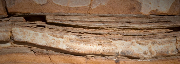
3. The thickest and most extensive coal seams are found globally in Tejas sediments. The Powder River Basin (PRB) coals, which are all within Paleogene system rock layers, contain the largest reserves of low-sulfur subbituminous coal in the world. At least six or more coal beds in the PRB exceed 100 feet in thickness and some individual beds have been shown to extend for over 75 miles. Some of these coal beds can exceed 200 feet thick in places, such as the Big George coal layer. These coal beds are part of the receding phase of the Flood that transported huge mats of plant and tree debris. They were derived largely from angiosperms living at higher elevations, and then Flood waters rapidly buried them in huge deposits.
4. The tremendous amount of rapid ocean crust/seafloor spreading that continued right across the K-Pg boundary and up to the Pliocene, with no indication of a significant change in velocity. The runaway subduction model for the global flood, described by Geophysicist Dr. John Baumgardner, caused the creation of approximately one-third to one-half of the world’s ocean crust to form during the deposition of the Tejas megasequence (Paleocene through Pliocene). In addition, the huge earthquakes generated by this movement would have been devastating for any type of human civilization after the Flood, if the Flood/post-Flood boundary is located at the K-Pg.
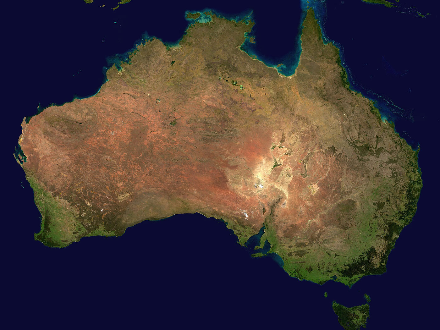
5. The identification of uninterrupted water-deposited carbonate rocks from the Cretaceous (below the K-Pg boundary) and continuing upward through Miocene strata across much of North Africa and the Middle East, areas just to the south of the landing site for the ark in Turkey. The continuous limestone beds from the time of Cretaceous deposition (Zuni megasequence) through the top of the Miocene (Upper Tejas) in Iraq are the closest thing to proof that the Flood was not over at this point. These huge regions of the Middle East were clearly still under water during the Tejas. If they were post-Flood deposits, it would be impossible for humans to settle there at that time and build the Tower of Babel.
In addition, our research efforts have identified more geological features that further support that the Flood/post-Flood boundary is near the top of the Tejas megasequence which encompasses the Paleogene and Neogene geological systems. One of these is the Ogallala Sandstone we recently described in Acts & Facts.6 Local post-Flood catastrophes cannot explain this continuous sand bed that covers much of the Great Plains. It must be part of the receding phase of the Flood as well.
Collectively, these data establish that much of the Paleogene and Neogene (known previously as the Tertiary) was the receding phase of the great Flood, placing the Flood/post-Flood boundary at the top of the Tejas megasequence (Upper Cenozoic). Real rock data not only confirm there was a global Flood as described in the Bible, but they also help us to better understand its final stages of sedimentary deposition.
References
1. Austin, S. A., J. R. Baumgardner, D. R. Humphreys, A. A. Snelling, L. Vardiman, and K. P. Wise. 1994. Catastrophic plate tectonics: a global Flood model of earth history. In Proceedings of the Third International Conference on Creationism. Edited by R. E. Walsh. Pittsburgh, PA: Creation Science Fellowship, 609-621.
2. Whitmore, J. H., and K. P. Wise. 2008. Rapid and early post-Flood mammalian diversification evidences in the Green River Formation. In Proceedings of the Sixth International Conference on Creationism. Edited by A. A. Snelling. Pittsburgh, PA: Creation Science Fellowship, 449-457.
3. Oard, M. J. 2013. Geology indicates the terrestrial Flood/post-Flood boundary is mostly in the Late Cenozoic. Journal of Creation. 27 (1): 119-127.
4. Clarey, T. L. 2016. The Ice Age as a mechanism for post-Flood dispersal. Journal of Creation. 30 (2): 48-53.
5. Clarey, T. L. 2017. Local Catastrophes or Receding Floodwater? Global Geologic Data that Refute a K-Pg (K-T) Flood/post-Flood Boundary. Creation Research Society Quarterly. 54 (2): 100-120.
6. Clarey, T. 2018. Palo Duro Canyon rocks showcase Genesis Flood. Acts & Facts. 47 (7): 10.
*Dr. Timothy Clarey is Research Associate is at ICR and earned his doctorate in geology from Western Michigan University.